

Tamhini Ghat is one of the greenest pre-wedding shoot destinations near Pune during the monsoon. Forest-covered hills, passing fog, roadside cascades and views of the Kundalika Valley give the region a raw appearance that is difficult to recreate at a commercial photoshoot set.
The same weather that makes Tamhini beautiful can also make it unpredictable. Heavy rain may cause landslides, road closures, overflowing streams and restrictions around waterfalls or forest trails. A safe parking area available one week may be closed the next.
For that reason, a good Tamhini Ghat pre-wedding plan should never depend on one waterfall or an unofficial forest trail. Combine a confirmed public viewpoint with a private resort or property around Mulshi. Keep Plus Valley, Andharban and Devkund only for couples who are comfortable with trekking and have verified permission.
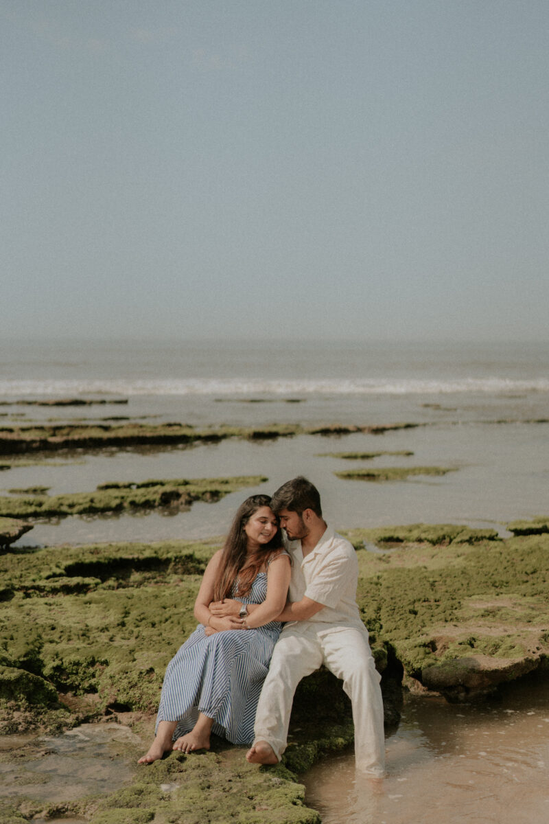
This guide covers 20 pre-wedding shoot locations in Tamhini Ghat and nearby areas, with Google Maps links, expected costs, travel advice, photography guidance and safety notes.
Important: Tamhini Ghat falls across sensitive forest, highway and water-catchment areas. Access rules can change according to rainfall and local orders. Check the latest update from the Pune or Raigad administration, Forest Department and local police before leaving.
Current Tamhini Ghat travel advisory
Tamhini Ghat experienced heavy-rain disruption, road damage and temporary closures during the 2026 monsoon. Reports in August 2026 said the road had reopened for light vehicles after repair work, but restrictions and caution remained on some sections. Conditions can change after fresh rain, so verify the route on the morning of the shoot. Read the August 2026 route update.
Authorities have also restricted tourist entry around dangerous waterfalls, forest routes and Devkund during periods of intense rainfall. These instructions take priority over every shoot booking and itinerary.
Why choose Tamhini Ghat for a pre-wedding shoot?
Tamhini suits couples who prefer real outdoor scenery over palace-style or European sets. The wider region gives you:
- Misty mountains and forest roads
- Seasonal waterfalls
- Mulshi Lake and dam backwaters
- Kundalika Valley views
- Private resorts and farm properties
- Rustic village backgrounds
- Adventure trails such as Andharban
- Access to the Bhira and Kolad side
You don’t need to complete a difficult trek to create a strong album here. For most couples, Mulshi Lake, a private resort and two safe Tamhini viewpoints are enough for a full-day shoot.
Quick comparison of locations
| Location | Best for | Access | Difficulty |
|---|---|---|---|
| Tamhini main viewpoint | Mountain and fog portraits | Public viewpoint | Easy |
| Safe ghat-road lay-bys | Road-trip photographs | Public road | Easy |
| Seasonal roadside cascades | Monsoon backgrounds | Conditional | Easy |
| Tamhini village surroundings | Rural photographs | Local/private | Easy |
| Mulshi Lake viewpoints | Romantic lake portraits | Mixed access | Easy |
| Mulshi Dam viewpoint | Wide water views | Restricted public zones | Easy |
| Private Mulshi resorts | Styled full-day shoot | Paid | Easy |
| Private farm properties | Fields and lifestyle frames | Paid | Easy |
| Plus Valley viewpoint | Deep valley background | Public/forest access | Easy–moderate |
| Plus Valley trail | Adventure shoot | Guided/conditional | Difficult |
| Pimpri Village | Rural and forest-edge frames | Local/private | Easy |
| Andharban starting area | Forest and mountain portraits | Permit-based | Moderate |
| Andharban trail | Adventure story | Permit and guide | Difficult |
| Kundalika Valley viewpoint | Sunrise and mountain layers | Conditional access | Moderate |
| Tamhini Wildlife Sanctuary edge | Forest backdrop | Permission-dependent | Easy |
| Bhira Dam backwaters | Lake and hill photographs | Mixed access | Easy |
| Bhira Village | Rustic couple story | Local permission | Easy |
| Devkund base route | Forest and stream setting | Restricted/seasonal | Moderate |
| Kundalika River resorts | Riverside and activity shoot | Paid | Easy |
| Temghar Dam and Lavasa route | Lake and road-trip frames | Mixed access | Easy |
Table of Contents
1. Tamhini Ghat main viewpoint
The main valley-facing viewpoints around Tamhini are the easiest places to capture the scale of the Western Ghats. On clear days, you can see multiple mountain layers. During the monsoon, fog moves through the valley and changes the background within minutes.
Free or paid: Public viewpoints are generally free. Parking or access managed by local operators may involve a small charge.
Photography guide: Reach shortly after sunrise for softer light and lighter traffic. Use a wide lens for the full valley and a longer lens for portraits with compressed hills. Keep everyone behind barriers and away from exposed edges.
Travel guide: Save two or three legal viewpoints because fog may completely cover your first choice.
Why it is best: It gives you the recognisable Tamhini landscape without requiring a trek.
Open Tamhini Ghat Viewpoint on Google Maps
Don’t just choose a location. Plan a story worth remembering.
Get help with locations, outfits and the right photography timing for your pre-wedding shoot.
Personal PlanningLocation guidance for your story
Clear GuidanceTiming, travel and permission support
Direct ConsultationTalk with the photography team
2. Safe lay-bys along Tamhini Ghat Road
The ghat road has bends, rock walls and forest sections that can create a natural road-trip story. Only broad, legal stopping areas should be considered.
Free or paid: Public-road photography is usually free. Stopping can be prohibited due to traffic, repair work or weather conditions.
Photography guide: Keep one crew member watching traffic. Never set up on the active lane, inside a tunnel or around a blind bend. Walking frames and photographs beside a safely parked car work well.
Travel guide: Scout the route shortly before the shoot. Google Maps photographs may show stopping areas that are no longer safe or available.
Why it is best: It connects the different shoot locations and makes the journey part of the album.
3. Seasonal roadside waterfalls
Numerous small cascades appear beside the ghat road during the monsoon. Their flow depends on recent rainfall, so they shouldn’t be treated as permanent attractions.
Free or paid: Roadside viewing is often free. Parking or locally controlled access may be chargeable.
Photography guide: Photograph from a designated parking area and keep the waterfall behind the couple. A telephoto lens can create the impression of proximity without placing anyone beneath fast water.
Travel guide: If police or local authorities have closed the section, skip it. Don’t search for an unofficial path around a barricade.
Why it is best: Water, dark rock and green vegetation create the classic Tamhini monsoon look.
Find waterfalls around Tamhini Ghat
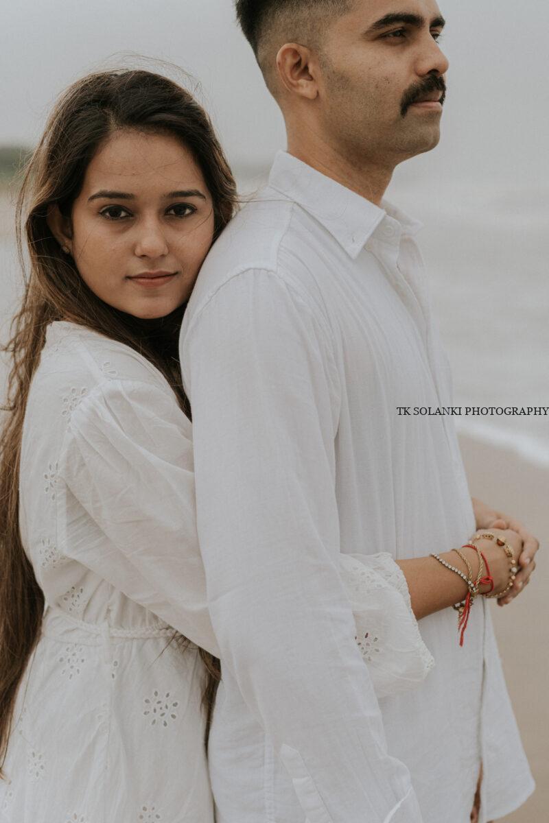
4. Tamhini Village surroundings
Tamhini Village and nearby rural roads provide fields, small homes, mountain views and a quieter setting than the main highway.
Free or paid: Public village roads are normally free. Fields, homes and courtyards require the owner’s consent.
Photography guide: Keep the crew small and avoid disturbing residents. Cotton sarees, kurtas and casual clothing feel more natural here than elaborate gowns.
Travel guide: Ask a local resort or guide to help identify a legal field or viewpoint. Don’t enter farmland simply because there is no fence.
Why it is best: It adds a local, relaxed chapter to a shoot dominated by mountains and waterfalls.
Open Tamhini Village on Google Maps
5. Mulshi Lake public viewpoints
Mulshi Lake is among the most practical locations for romantic photographs near Tamhini Ghat. The water, mountains and open sky provide a cleaner background than the busy monsoon road.
Free or paid: Some roadside viewpoints are free. Many attractive shorelines belong to private resorts, farms or gated properties.
Photography guide: Sunrise is ideal for calm water and soft reflections. Yellow, wine, navy, ivory and rust outfits remain visible against green hills.
Travel guide: Finalise the exact viewpoint beforehand. Different sides of the lake may require long detours even when they look close on a map.
Why it is best: It gives couples an easy, romantic setting before entering the more unpredictable ghat section.
Open Mulshi Lake on Google Maps
6. Mulshi Dam public viewpoint
The dam and reservoir can form a strong background when photographed from an authorised public area.
Free or paid: Public viewpoints may be free. Dam walls, gates, service roads and operational sections are restricted.
Photography guide: Use the dam from a distance. Never climb barriers or ask for access to a service area simply to obtain a symmetrical frame.
Travel guide: A general dam pin may lead to a controlled gate. Scout the exact public viewpoint before the shoot.
Why it is best: It provides a larger, more structured composition than an ordinary lakeside frame.
Open Mulshi Dam on Google Maps
7. Private resorts near Mulshi
A private resort is the most reliable base for a Tamhini pre-wedding shoot. It provides changing rooms, washrooms, covered areas and a safe weather backup.
Free or paid: Paid. Accommodation and professional photography charges may be separate.
Photography guide: Select a resort with several usable backgrounds, such as a lake view, garden, large windows, covered veranda and clean indoor space.
Travel guide: Ask for recent photographs or a live video walkthrough before paying. Confirm the condition of the final approach road.
Why it is best: The shoot can continue even when rain or road restrictions make outdoor viewpoints unusable.
Don’t just choose a location. Plan a story worth remembering.
Get help with locations, outfits and the right photography timing for your pre-wedding shoot.
Personal PlanningLocation guidance for your story
Clear GuidanceTiming, travel and permission support
Direct ConsultationTalk with the photography team
8. Private farms and villas around Mulshi
Farmhouses and villas can provide fields, lawns, balconies and lifestyle interiors. They suit couples who want privacy and several costume changes.
Free or paid: Paid. Confirm the shoot fee, permitted crew size, property timings and decoration policy.
Photography guide: Avoid selecting a property based only on one infinity-pool photograph. Look for at least four genuinely different backgrounds.
Travel guide: Check electricity, parking, changing rooms and vehicle accessibility during rain.
Why it is best: It offers controlled access without depending on crowded public spots.
Find private villas near Mulshi
9. Plus Valley viewpoint
Plus Valley is named for the cross-like shape formed by its deep valleys. Safer upper viewpoints may provide dramatic mountain compositions without entering the difficult trail.
Free or paid: Roadside viewing may be free. Forest restrictions, guide charges or parking fees can apply.
Photography guide: Use a long lens from a secure viewpoint. Stay away from unprotected cliff edges, particularly in fog when depth is difficult to judge.
Travel guide: Confirm access with a local guide or Forest Department representative. Avoid the location during a closure.
Why it is best: The deep valley gives photographs a sense of scale while the couple remains on accessible ground.
Open Plus Valley on Google Maps
10. Plus Valley trail
The trail is considerably more demanding than the roadside viewpoint. It is only suitable for fit couples and an experienced outdoor photography team.
Free or paid: A local guide and applicable forest or entry fees may be required.
Photography guide: Wear trekking clothes and carry minimal equipment. Don’t bring long gowns, large reflectors or decorative sets.
Travel guide: Avoid the trail during heavy rain or when authorities identify it as unsafe. Previous Forest Department warnings have treated Plus Valley among the higher-risk monsoon areas.
Why it is best: It creates authentic adventure photographs for couples who already enjoy trekking.
Find the Plus Valley trek route
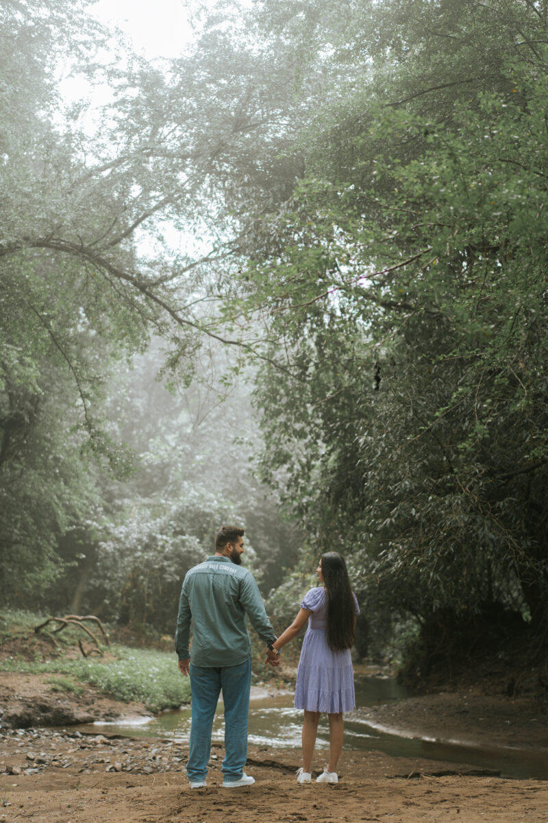
11. Pimpri Village
Pimpri Village is associated with the starting side of the Andharban trek. Its village roads, fields and forest-edge views can be used without entering the complete trail.
Free or paid: General village access is normally free. Parking, guides and private-field access may cost extra.
Photography guide: Ask before entering farmland. Traditional or simple casual outfits suit the surroundings, and the crew should remain compact.
Travel guide: Mobile connectivity may be inconsistent. Coordinate with a local guide before arriving.
Why it is best: It provides the look of Andharban with far less physical effort.
Open Pimpri Village near Andharban
12. Andharban starting area
The starting area around Independence Point can provide forest, valley and trail backgrounds. It is more practical than carrying a full photography setup through the entire trek.
Free or paid: Permit, guide and parking requirements can apply. Advance registration may be compulsory when the trail is regulated.
Photography guide: Plan a short outdoor session near approved areas and avoid blocking trekkers. Proper footwear is essential.
Travel guide: Access is weather-dependent. In August 2026, the regulated Andharban trail reportedly reopened with permits and a daily visitor limit, subject to further closures. Verify the latest Forest Department system before travelling. Read the 2026 Andharban access guide.
Why it is best: Couples can get dense-forest photographs without committing to a long descending trek.
Don’t just choose a location. Plan a story worth remembering.
Get help with locations, outfits and the right photography timing for your pre-wedding shoot.
Personal PlanningLocation guidance for your story
Clear GuidanceTiming, travel and permission support
Direct ConsultationTalk with the photography team
13. Andharban forest trail
Andharban is a long forest trek with streams, descents and changing terrain. It should only be selected when the couple wants a genuine trekking experience.
Free or paid: Advance permit, guide and other trekking charges may apply.
Photography guide: Carry weather-sealed, lightweight equipment. Wear trekking clothes and avoid carrying costume bags through the entire trail.
Travel guide: The route is roughly a full trekking activity, not a normal location stop. Arrange return transport because the trail may end away from its starting point.
Why it is best: The dark forest canopy creates intimate photographs that look completely different from the open Mulshi viewpoints.
Open Andharban Trek on Google Maps
14. Kundalika Valley viewpoint
The Kundalika Valley provides deep mountain views and layers of forest. It is particularly strong around sunrise or when clouds sit below the viewpoint.
Free or paid: Access may be free, guided or restricted depending on the exact point and season.
Photography guide: Stay at an established viewpoint and use lens compression. Don’t move closer to an edge because fog makes it difficult to judge distance.
Travel guide: Check forest and local restrictions before including the viewpoint. Some informal pins can lead towards hazardous terrain.
Why it is best: It creates one of the widest mountain backgrounds in the Tamhini region.
Find Kundalika Valley Viewpoint
15. Tamhini Wildlife Sanctuary edge
The forested roads and approved areas near the sanctuary boundary can provide dense greenery and soft natural light. This does not mean couples may enter protected forest sections for a shoot.
Free or paid: Permission or regulated access may be required. Restrictions are particularly common during the monsoon.
Photography guide: Remain on authorised routes. Don’t use loud music, confetti, artificial smoke or lights that can disturb wildlife.
Travel guide: Speak with the relevant Forest Department office before planning any photography beyond a normal public road.
Why it is best: The forest produces a quiet, intimate background when photographed responsibly.
Open Tamhini Wildlife Sanctuary on Google Maps
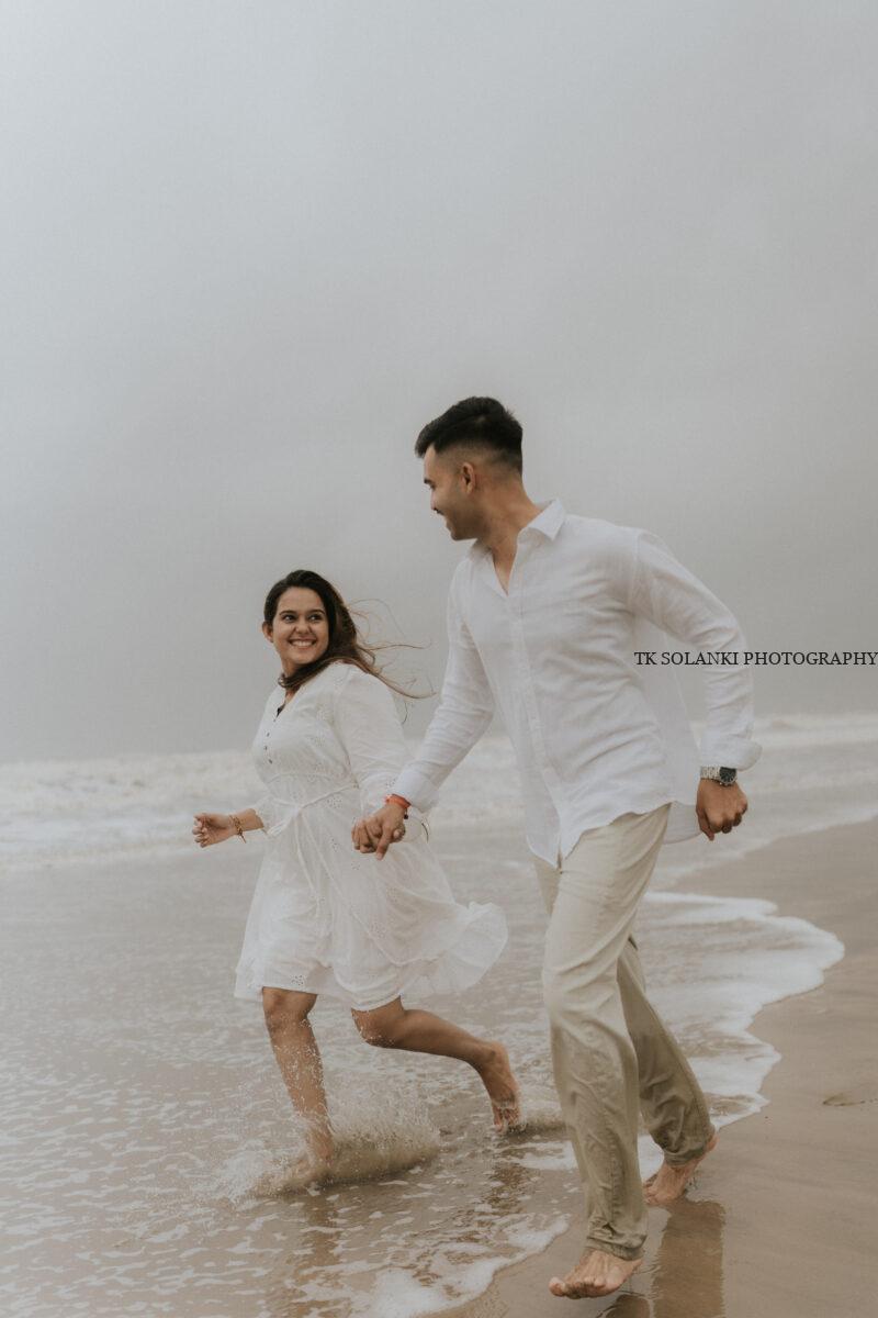
16. Bhira Dam backwaters
Bhira Dam lies on the Konkan side of the Tamhini route. Its backwaters and surrounding hills can be included in a two-day shoot.
Free or paid: Public viewpoints may be free. Operational dam areas are restricted, while private shoreline access may be paid.
Photography guide: Shoot from a safe, authorised bank. Water levels and muddy ground can change quickly during the monsoon.
Travel guide: Bhira is more practical as part of a Kolad-side overnight plan than a short stop after a full day in Mulshi.
Why it is best: It provides a quieter lake setting with a more remote appearance.
17. Bhira Village
Bhira Village has rural roads, homes, greenery and mountain surroundings. It can support a simple countryside concept with local permission.
Free or paid: Public roads are usually free. Homes, farms and private land require consent.
Photography guide: Keep the crew small and avoid photographing residents without permission. Don’t block the road or disturb daily work.
Travel guide: Coordinate with a local homestay or guide, especially if the plan also includes Devkund.
Why it is best: It provides genuine local character without requiring access to a crowded waterfall.
Open Bhira Village on Google Maps
Don’t just choose a location. Plan a story worth remembering.
Get help with locations, outfits and the right photography timing for your pre-wedding shoot.
Personal PlanningLocation guidance for your story
Clear GuidanceTiming, travel and permission support
Direct ConsultationTalk with the photography team
18. Devkund base route
The safer base section around Bhira can provide forest and stream backgrounds when access is officially permitted. It is a more practical shoot option than attempting photographs at the main waterfall.
Free or paid: Local guide, parking and entry charges may apply. Registration may be required.
Photography guide: Use the approved lower route and finish before the trail becomes demanding. Don’t enter streams during high flow.
Travel guide: Devkund and nearby Tamhini tourism zones faced restrictions during the 2026 monsoon due to flash-flood and landslide risk. Confirm the current order before travelling. Read the 2026 restriction report.
Why it is best: The base route can provide forest photographs without treating the waterfall itself as a fashion set.
19. Kundalika River resorts near Kolad
Private riverside resorts around Kolad can add water, greenery and activity-based photographs to a Tamhini itinerary.
Free or paid: Paid. Photography and accommodation packages may be separate. Adventure activities have additional charges and safety requirements.
Photography guide: Plan quiet riverside portraits first. Activity photography should be coordinated with certified operators rather than staged independently near fast water.
Travel guide: Stay overnight on the Kolad side if you want both Tamhini and Kundalika photographs.
Why it is best: A private resort provides reliable access and facilities after an unpredictable ghat-road session.
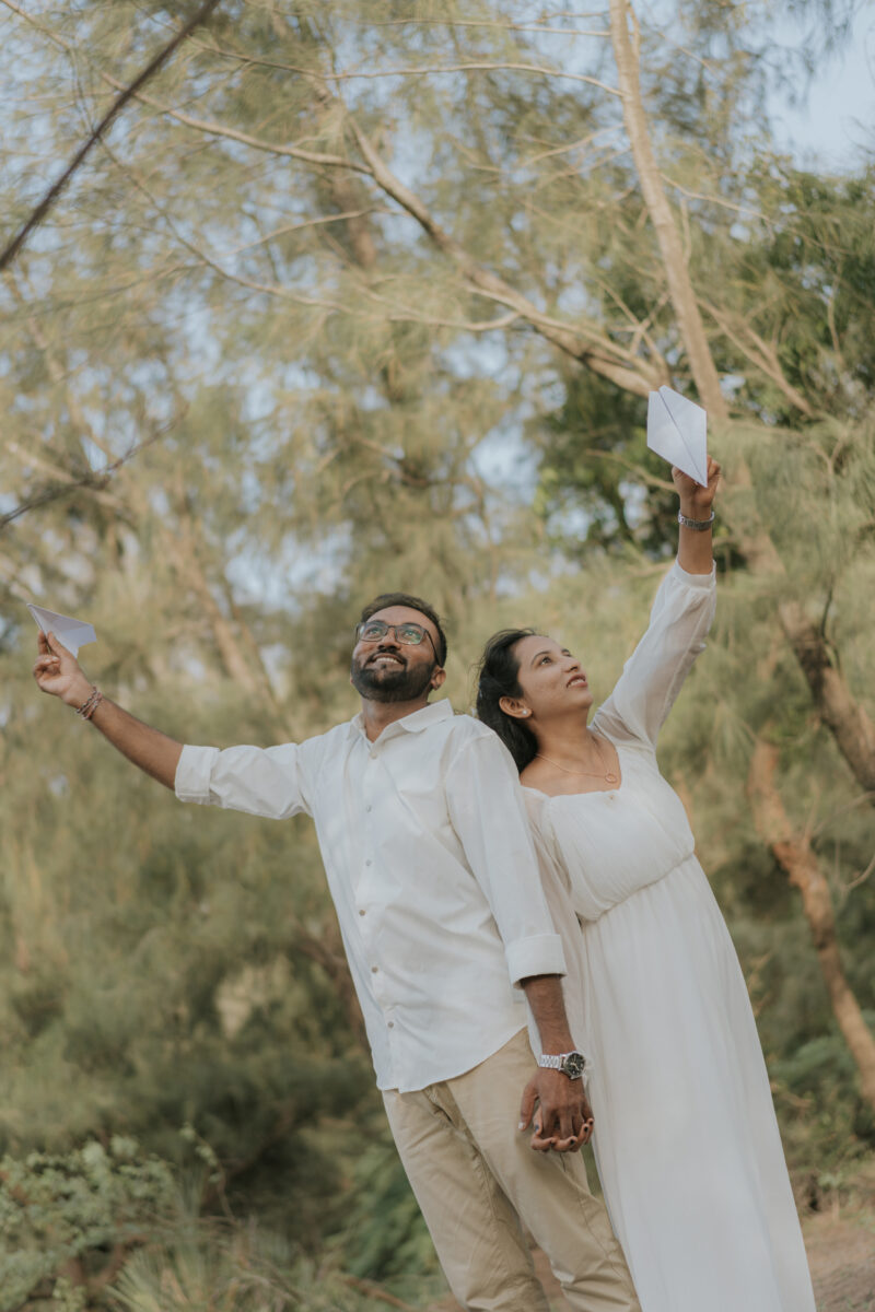
20. Temghar Dam and Lavasa route
Temghar Dam lies on the Pune–Lavasa side and can be included as an alternative when the couple wants another reservoir and hill setting.
Free or paid: Public viewpoints may be free. Dam infrastructure, service roads and private backwater properties may be restricted or paid.
Photography guide: Use the reservoir from a legal viewpoint. Sunrise works well for softer water and cleaner skies.
Travel guide: Temghar is best planned on a separate Pune–Lavasa route. It should not be added casually to an already full Tamhini–Bhira itinerary.
Why it is best: It provides a quieter road-trip and lake combination near Pune.
Open Temghar Dam on Google Maps
Best season for a Tamhini Ghat pre-wedding shoot
Late September to November
This is often the most practical balance. The surroundings may remain green, smaller waterfalls can still be active and extreme-rain interruptions are generally less frequent than during peak monsoon.
December to February
Winter is better for clear valley views, outdoor comfort and trekking-based sessions. The scenery may be less intensely green, but the schedule is more predictable.
June to September
Peak monsoon creates fog, waterfalls and deep greenery. It also carries the highest risk of landslides, flash floods, closures and slippery terrain. Check weather and official advisories on the same day.
March to May
The landscape becomes warmer and drier. Use early morning for Mulshi Lake, private farms and road viewpoints. Avoid exposed afternoon sessions.
Don’t just choose a location. Plan a story worth remembering.
Get help with locations, outfits and the right photography timing for your pre-wedding shoot.
Personal PlanningLocation guidance for your story
Clear GuidanceTiming, travel and permission support
Direct ConsultationTalk with the photography team
How to reach Tamhini Ghat
From Pune: Tamhini Ghat is commonly reached through Pirangut, Paud and Mulshi. The distance is roughly 65–75 kilometres, depending on the chosen point.
From Mumbai: The distance and route vary considerably. Travelling through the Pune side or approaching from the Kolad–Mangaon side may take several hours.
By train: Pune is the most practical major railway station for the Mulshi side. Mangaon or Kolad may be useful for locations on the Raigad side.
For a shoot: Use a private vehicle with an experienced hill-road driver. Avoid planning night travel during severe rain or fog.
Recommended one-day itinerary
A safe one-day plan should remain on the Mulshi side:
Morning
- Mulshi Lake at sunrise
- Tamhini Village or an approved rural road
- Private resort for breakfast and outfit change
Afternoon
- Covered resort areas
- Farm or indoor lifestyle session
Evening
- Tamhini main viewpoint
- One safe roadside waterfall or valley viewpoint if officially open
Don’t add Andharban, Bhira and Devkund to this plan.
Recommended two-day itinerary
Day one: Mulshi and Tamhini
- Mulshi Lake
- Private resort
- Tamhini viewpoints
- Hill-road sunset photographs
Day two: Adventure or Konkan side
Choose only one route:
- Andharban starting area with a permit and guide, or
- Bhira backwaters and a Kolad riverside resort
This keeps the travel realistic and leaves enough time for photography.
Charges and permissions checklist
Before paying a location advance, confirm:
- Is professional pre-wedding photography permitted?
- Is there a commercial shoot fee?
- Which exact areas are included?
- Is a changing room available?
- How many crew members can enter?
- Are lights, reflectors and tripods allowed?
- Can decorative props be used?
- Is parking included?
- Is drone photography permitted?
- What happens if rain or an official closure cancels access?
Tourist entry, trekking permission and commercial photography approval are three different things. Ask about each one separately.
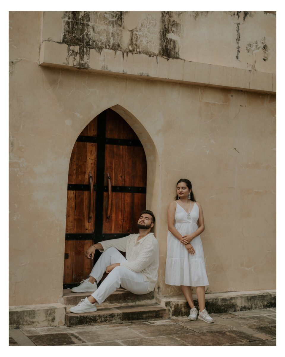
Drone photography in Tamhini Ghat
Tamhini has forest, wildlife, highways, dams, villages and deep valleys. Drone use depends on current Indian aviation rules, the airspace category and permission from the relevant landowner or authority.
Don’t fly near wildlife, traffic, crowds, dams or protected forest without verified approval. Fog, wind and rain can also make flying unsafe even where permission has been granted.
What couples should wear
Solid colours such as mustard, wine, rust, ivory and navy remain visible against green hills and grey skies.
Traditional Maharashtrian outfits suit Mulshi farms and village surroundings. Casual outdoor clothing works well for forest roads and viewpoints.
Avoid long gowns on trails, beside waterfalls and near muddy lake banks. Reserve them for a private resort or controlled viewpoint with level ground.
What to carry
- Shoes with strong grip
- Shoot footwear in a separate bag
- Rain jackets and umbrellas
- Towels and spare clothes
- Water and snacks
- Insect repellent
- Basic first-aid kit
- Power banks
- Dry bags for equipment
- Warm layer for foggy mornings
- Offline map pins
- Copies of permissions and bookings
Don’t just choose a location. Plan a story worth remembering.
Get help with locations, outfits and the right photography timing for your pre-wedding shoot.
Personal PlanningLocation guidance for your story
Clear GuidanceTiming, travel and permission support
Direct ConsultationTalk with the photography team
Related TK Solanki Photography guides
These location guides can help couples compare Tamhini with other destinations near Pune and Mumbai:
- 20 Best Pre-Wedding Shoot Locations in Pune
- Top Pre-Wedding Photoshoot Locations in Lonavala
- 20 Best Pre-Wedding Photoshoot Locations in Karjat
- View real pre-wedding stories
Plan your Tamhini Ghat shoot with TK Solanki Photography
A Tamhini shoot needs more than a list of waterfall pins. The route must account for rain, road conditions, legal parking, changing facilities and locations that may close without notice.
TK Solanki Photography helps couples select a practical mix of lake, forest and mountain backgrounds based on the season and their comfort level. A private backup location can also be included so unexpected weather doesn’t waste the shoot day.
Only a limited number of pre-wedding dates are accepted each month to allow proper location and weather planning.
Explore TK Solanki Photography services or check availability for your pre-wedding date.
Frequently asked questions
Is Tamhini Ghat suitable for a pre-wedding shoot?
Yes. It is especially suitable for couples who want forests, fog, waterfalls, lakes and mountain photographs.
Is Tamhini Ghat open throughout the monsoon?
Not always. Heavy rainfall can cause road closures, landslides and temporary restrictions. Check current police and district updates immediately before travelling.
Are Tamhini Ghat photoshoot locations free?
Several public viewpoints are free. Private resorts, farms, guides, permits and commercial photography approvals may involve separate charges.
Can we shoot inside a waterfall?
It isn’t recommended. Strong flow, slippery rocks and sudden water-level changes can make waterfall areas dangerous. Use the waterfall as a distant background.
Which is the easiest Tamhini shoot combination?
Mulshi Lake, a private resort and a safe Tamhini viewpoint provide three different backgrounds with little trekking.
Can we include Devkund?
Only if official access is open and the shoot is planned with an authorised local guide. Devkund should be treated as a separate trekking activity, not a quick roadside stop.
Is Andharban suitable for bridal outfits?
No. The complete trail requires trekking clothes, proper shoes and light equipment. Styled portraits can instead be attempted near the approved starting area.
Can we complete the shoot in one day?
Yes, if you remain around Mulshi and the main Tamhini road. Use two days for Bhira, Kolad, Andharban or Devkund.
Is drone photography allowed?
It depends on airspace rules and local permission. Protected forest, wildlife, dams and highways introduce additional restrictions.
Final planning advice
For most couples, Mulshi Lake at sunrise, a private property during midday and a legal Tamhini viewpoint in the evening form the strongest plan.
The difficult trails are worth adding only when trekking is genuinely part of the couple’s story. You don’t need to stand beneath a waterfall or beside a cliff edge to make Tamhini look dramatic—the landscape already does that work.


