

Malshej Ghat looks its most dramatic when monsoon clouds begin moving through the mountains. Waterfalls appear beside the road, the valleys turn green and sections of the ghat disappear behind fog. In winter, the same region offers clear mountain views, softer colours and more dependable shooting conditions.
That variety makes Malshej Ghat a strong pre-wedding destination, but it also creates a planning challenge. The most beautiful roadside waterfall may not be safe for a couple to enter. Fog can hide a valley within minutes, and traffic police or local authorities may restrict stopping on narrow sections of the highway.
A practical Malshej Ghat shoot should therefore combine one or two safe viewpoints with a private resort, backwater location or nearby heritage spot. This guide covers 20 locations in and around Malshej Ghat, along with Google Maps links, access information, photography advice and travel guidance.
Important: Entry prices, commercial photography fees and access rules can change. Confirm the latest conditions with the property owner, local authority, Forest Department, ASI, temple management or irrigation department. Tourist entry does not automatically include permission for a professional pre-wedding shoot.
Why choose Malshej Ghat for a pre-wedding photoshoot?
Malshej Ghat has a raw Sahyadri character. You won’t find palace sets or manicured European-style gardens here. The main backgrounds are real mountains, dark rock, waterfalls, forests, fields and open water.
It works especially well for couples who want:
- A cinematic monsoon shoot
- Mountain and valley photographs
- A casual road-trip story
- Rustic village or countryside frames
- Lakeside photographs near Pimpalgaon Joga Dam
- Adventure-style photographs near Naneghat or Harishchandragad
- A combination of nature and heritage around Junnar
The Maharashtra Tourism Department identifies Malshej Ghat, Pimpalgaon Joga Dam, Harishchandragad and the region’s seasonal waterfalls among the area’s main attractions. It also notes that the waterfalls are mainly active between June and September. Read the official Malshej Ghat tourism guide.
Quick location comparison
| Location | Best for | Access type | Physical effort |
|---|---|---|---|
| Malshej Ghat viewpoint | Mountain and valley portraits | Public viewpoint | Easy |
| MTDC viewpoint area | Sunrise and sunset views | Property/public zone | Easy |
| Ghat road bends | Road-trip photographs | Public road | Easy |
| Seasonal waterfalls | Monsoon backgrounds | Conditional access | Easy–moderate |
| Waterfall tunnel section | Cinematic road frames | Restricted roadside | Easy |
| Flamingo Point | Lake and birding environment | Seasonal/public | Easy |
| Pimpalgaon Joga Dam | Backwater photographs | Mixed access | Easy |
| Private resorts | Styled and comfortable shoot | Paid | Easy |
| Khireshwar Village | Rural and mountain frames | Local access | Easy |
| Khireshwar Temple | Heritage exterior | Permission-based | Easy |
| Harishchandragad lower trail | Adventure photographs | Guided trek | Moderate |
| Harishchandragad summit | Serious trekking couples | Guided trek | Difficult |
| Kokan Kada | Extreme landscape | Long trek | Difficult |
| Naneghat | Ancient pass and valley | Public/trek access | Moderate |
| Naneghat caves | Rock and heritage setting | Public/controlled | Moderate |
| Jivdhan foothills | Fort and mountain scenery | Guided/local | Moderate |
| Shivneri Fort | Historic stone architecture | Controlled monument | Moderate |
| Lenyadri surroundings | Hills and cave architecture | Controlled/religious | Moderate |
| Manikdoh Dam viewpoints | Lake and hill backgrounds | Restricted public zones | Easy |
| Junnar countryside | Fields and rural roads | Private/public mix | Easy |
Table of Contents
1. Malshej Ghat main viewpoint
The recognised viewpoints along Malshej Ghat provide wide views of deep valleys and layered mountains. During the monsoon, fog moves through the frame; in winter, visibility is usually clearer.
Free or paid: Public viewpoints are generally free, although parking or local facility charges may apply. Large professional setups can require approval.
Photography guide: Use a wide-angle lens for environmental portraits and a longer lens to compress the mountain layers. Reach shortly after sunrise for softer light and less traffic. Keep the couple behind railings and away from exposed edges.
Travel guide: The exact view depends on fog and weather. Keep a nearby resort or covered location available in case visibility disappears.
Why it is best: This is the most recognisable Malshej Ghat background and requires very little walking.
Open Malshej Ghat viewpoint on Google Maps
2. MTDC Malshej Ghat viewpoint area
The tourism property at Malshej Ghat sits in a useful position for mountain and valley views. Depending on current property rules, staying here can also solve practical issues such as outfit changes, meals and washrooms.
Free or paid: Paid if you book a stay or request property access. A room reservation may not include professional photography, so ask for written confirmation.
Photography guide: Check which lawns, balconies, exterior areas and viewpoints are included. Plan the main portraits around sunrise or late afternoon rather than harsh midday light.
Travel guide: Reserve early for monsoon weekends and holidays. Confirm parking, crew limits and early-morning access.
Why it is best: It combines scenery with the facilities needed for a comfortable full-day shoot.
Open MTDC Malshej Ghat on Google Maps
Don’t just choose a location. Plan a story worth remembering.
Get help with locations, outfits and the right photography timing for your pre-wedding shoot.
Personal PlanningLocation guidance for your story
Clear GuidanceTiming, travel and permission support
Direct ConsultationTalk with the photography team
3. Malshej Ghat road bends
Sections of the ghat road provide mountain walls, mist and a natural road-trip setting. These frames can connect the formal locations in your final album.
Free or paid: No normal location fee applies to a public road, but stopping may be prohibited on narrow or high-traffic sections.
Photography guide: Use only a broad, legal lay-by or parking area. One crew member should watch traffic throughout the shoot. Never stop inside a tunnel, on a blind corner or beneath an unstable rock face.
Travel guide: Scout safe pull-off areas before the shoot day. Conditions can change due to rain, roadwork or traffic controls.
Why it is best: It gives the shoot movement and makes the journey itself part of the story.
4. Seasonal Malshej waterfalls
Several seasonal waterfalls appear along the mountain slopes during the monsoon. They can form dramatic backgrounds, but water volume and public access vary from day to day.
Free or paid: Roadside viewing may be free. Parking or access managed by local operators can be chargeable.
Photography guide: Use the waterfall as a background from a designated safe area. A telephoto lens can make it appear closer without placing the couple beneath the falling water. Carry rain covers, towels and non-slip footwear.
Travel guide: Don’t build the entire shoot around one unnamed waterfall. It may be dry, overcrowded or closed when you arrive.
Why it is best: Monsoon water, dark rock and green slopes create Malshej Ghat’s signature visual style.
Find waterfalls around Malshej Ghat
5. Waterfall and tunnel viewpoints
The ghat has road sections where tunnels, rock faces and seasonal water appear in the same area. These can look cinematic when photographed from a legal stopping point.
Free or paid: Usually free from public parking areas. Photography inside tunnels or restricted road sections may not be allowed.
Photography guide: Don’t position the couple or equipment on the active carriageway. Use a longer lens from a safe distance and avoid flash that could distract drivers.
Travel guide: Traffic movement and police restrictions take priority over a planned frame. If the safe parking area is closed, skip the location.
Why it is best: The combination of rock, road, fog and water creates a stronger travel-film look than an ordinary viewpoint.
6. Flamingo Point
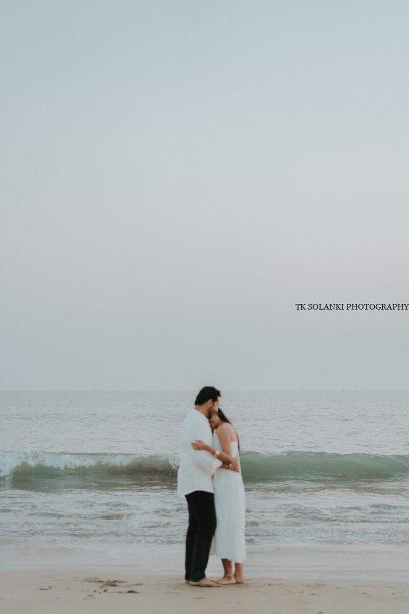
Flamingo Point is associated with the Pimpalgaon Joga reservoir and seasonal bird activity. Even without flamingos, the wider area can provide water, hills and an open horizon.
Free or paid: Public viewing areas may be free. Private shoreline access, parking or guided birding arrangements may cost extra.
Photography guide: Treat birds as wildlife, not props. Use a long lens, maintain distance and avoid loud music, drones or attempts to make birds move for a photograph.
Travel guide: Flamingo sightings are never guaranteed. Plan the location for its scenery rather than promising the couple birds in the final photographs.
Why it is best: The open reservoir produces clean, calm compositions and soft morning light.
Open Flamingo Point on Google Maps
7. Pimpalgaon Joga Dam backwaters
Pimpalgaon Joga Dam is built on the Pushpavati River. Its backwaters, distant mountains and open banks make it one of the most useful pre-wedding locations near Malshej Ghat.
Free or paid: Some public viewpoints may be free. Dam infrastructure, service areas and controlled shoreline sections can be restricted. Private land access may be chargeable.
Photography guide: Sunrise gives softer light and calmer water. Use a wide frame for the reservoir and an 85mm-style portrait lens for close photographs with blurred mountain layers.
Travel guide: Finalise the exact viewpoint beforehand because a generic dam pin may lead to a gate or operational area where photography isn’t allowed.
Why it is best: Couples can add a relaxed lakeside chapter without travelling as far as Bhandardara.
Open Pimpalgaon Joga Dam on Google Maps
Don’t just choose a location. Plan a story worth remembering.
Get help with locations, outfits and the right photography timing for your pre-wedding shoot.
Personal PlanningLocation guidance for your story
Clear GuidanceTiming, travel and permission support
Direct ConsultationTalk with the photography team
8. Private resorts near Malshej Ghat
A resort is the safest choice for elaborate clothing, makeup changes, styled decorations and uncertain monsoon weather.
Free or paid: Paid. Request separate confirmation for commercial photography, even if rooms have been booked.
Photography guide: Select a property with several usable backgrounds: open lawns, mountain views, balconies, stone walls and covered areas. This makes the shoot productive even if it rains.
Travel guide: Ask about early check-in, changing rooms, crew meals, power supply and vehicle access before paying an advance.
Why it is best: It provides privacy and a reliable backup when public viewpoints become crowded or foggy.
Find resorts near Malshej Ghat
9. Khireshwar Village
Khireshwar is a base village for one of the Harishchandragad trekking routes. Village roads, fields, stone structures and mountain views can be used without attempting the entire climb.
Free or paid: General village access is normally free. Farms, homes and private courtyards require the owner’s permission.
Photography guide: Keep the setup small. Traditional clothes and simple casual outfits fit the surroundings better than large decorative sets. Don’t damage crops or block village roads.
Travel guide: Road conditions may deteriorate during heavy rain. A local guide can help identify accessible viewpoints and obtain permission from landowners.
Why it is best: It gives you the character of the Harishchandragad region without a six-hour trek.
Open Khireshwar Village on Google Maps
10. Khireshwar Temple
The old temple around Khireshwar has stone architecture and a quiet rural setting. It may suit a short traditional session if local or temple permission is granted.
Free or paid: Normal entry may be free, but professional photography should be discussed with the caretaker or local authority. A donation may be appropriate.
Photography guide: Photograph respectfully around the exterior. Avoid romantic posing inside worship areas, loud direction, flash during rituals and obstruction of visitors.
Travel guide: Visit before the shoot to check access and current condition. Don’t treat a functioning religious site like a private set.
Why it is best: It adds authentic stone architecture to a nature-focused album.
Find Khireshwar Temple on Google Maps
11. Lower Harishchandragad trail
The lower section of the Khireshwar trail passes through forest, rocky ground and open mountain terrain. It is suitable for couples who want a trekking story without carrying costumes to the summit.
Free or paid: Parking, guide and applicable forest or local charges may apply.
Photography guide: Use practical clothes and proper trekking footwear. Carry limited equipment and decide the turnaround point before starting.
Travel guide: The official Maharashtra Tourism guide describes the Khireshwar route as a longer, moderately difficult to difficult approach. Use only the accessible lower trail unless the couple and crew are prepared for a full trek. Official Harishchandragad guide.
Why it is best: It creates real adventure photographs without forcing an exhausting summit schedule.
Open Harishchandragad trailhead
12. Harishchandragad Fort
Harishchandragad is a major trekking destination with caves, temples, rock formations and high-altitude views. It is appropriate only for fit couples who genuinely enjoy trekking.
Free or paid: Guide, parking and locally applicable entry charges may be payable. Confirm current forest and trekking rules.
Photography guide: Trek in comfortable clothing and carry only essential equipment. Avoid large props or fragile outfits. Religious structures and caves must be treated respectfully.
Travel guide: Don’t combine a full Harishchandragad trek with a conventional multi-location shoot on the same day. It should be planned as a separate adventure session.
Why it is best: The journey and effort give the photographs a story that can’t be recreated at a roadside viewpoint.
Open Harishchandragad Fort on Google Maps
Don’t just choose a location. Plan a story worth remembering.
Get help with locations, outfits and the right photography timing for your pre-wedding shoot.
Personal PlanningLocation guidance for your story
Clear GuidanceTiming, travel and permission support
Direct ConsultationTalk with the photography team
13. Kokan Kada
Kokan Kada is Harishchandragad’s famous cliff viewpoint. It provides an enormous valley background, but reaching it involves a proper trek.
Free or paid: Costs may include local guides, parking, meals and trekking support. Access rules can change with weather.
Photography guide: Never position the couple near the exposed edge. Use perspective and lens compression to create scale from a safe distance. Wind can be strong, making gowns and loose equipment dangerous.
Travel guide: Plan this only with an experienced local guide and a physically prepared team. Avoid poor visibility, thunderstorms and unsafe monsoon conditions.
Why it is best: Few locations near Malshej Ghat can match its sense of scale.
Open Kokan Kada on Google Maps
14. Naneghat Pass
Naneghat is an ancient mountain pass with rock walls, plateau views and a historic trade-route setting. It works well for earthy, traditional or adventure-inspired photographs.
Free or paid: General access may be free or nominally charged. Parking, local guide services and special permissions can cost extra.
Photography guide: The plateau can be windy, so avoid unstable decorations. Use wide frames at sunrise or sunset, but remain well away from cliff edges.
Travel guide: Naneghat lies on the Junnar side and is best planned as a separate half-day route rather than a quick stop after Malshej sunset.
Why it is best: It combines history and open mountain scenery without requiring the same effort as Harishchandragad.
15. Naneghat caves and stone-cut passage
The rock-cut areas and cave-like sections around Naneghat provide textured, shadowy backgrounds that are useful when the midday light becomes harsh.
Free or paid: Visitor access may be free or nominally charged. Commercial photography rules should be checked locally.
Photography guide: Use simple lighting and avoid attaching decorations to rock surfaces. Keep paths clear for trekkers and visitors.
Travel guide: Wear footwear with a reliable grip. The rock can become slippery during rain.
Why it is best: It provides a natural heritage setting without a manufactured vintage set.
Open Naneghat Caves on Google Maps
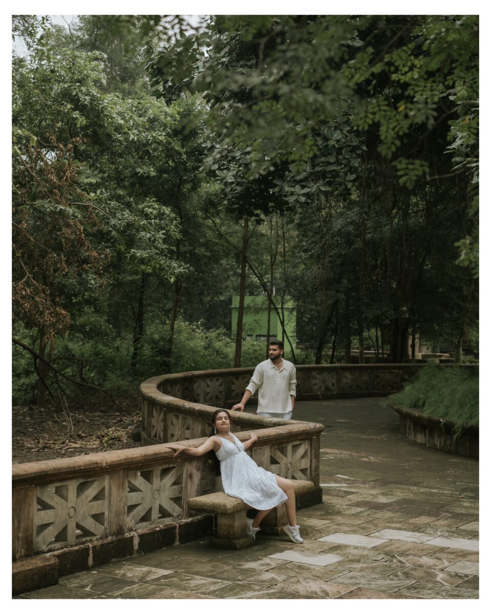
16. Jivdhan Fort foothills
Jivdhan Fort rises near the Naneghat region. The fort’s foothills and approach landscape can create a rugged mountain backdrop for a small, mobile crew.
Free or paid: Local guide, parking or access charges may apply. Forest and private-land permission should be checked.
Photography guide: Use the lower accessible areas unless everyone is experienced in difficult trekking. Choose practical outfits and avoid carrying large lights.
Travel guide: The upper fort route can be challenging and isn’t suitable for a standard fashion-style pre-wedding shoot.
Why it is best: It gives couples a quieter alternative to the busier Malshej viewpoints.
Open Jivdhan Fort on Google Maps
Don’t just choose a location. Plan a story worth remembering.
Get help with locations, outfits and the right photography timing for your pre-wedding shoot.
Personal PlanningLocation guidance for your story
Clear GuidanceTiming, travel and permission support
Direct ConsultationTalk with the photography team
17. Shivneri Fort
Shivneri Fort near Junnar is the birthplace of Chhatrapati Shivaji Maharaj and holds exceptional historical importance. Its gateways, stone paths and hill views can only be considered for respectful, permission-compliant photography.
Free or paid: Entry and parking charges may apply. Professional or commercial photography may need permission from the authority managing the monument.
Photography guide: Avoid elaborate romantic posing around memorial, religious or historically sensitive sections. Use the architecture as context and follow every instruction from staff.
Travel guide: Reaching the usable sections requires walking and climbing steps. Carry light equipment and schedule enough time.
Why it is best: It offers authentic Maratha-era surroundings, but sensitivity and permission matter more than obtaining a particular shot.
Open Shivneri Fort on Google Maps
18. Lenyadri hill and exterior surroundings
Lenyadri is an important religious and archaeological cave site near Junnar. Because it is an active pilgrimage destination, it isn’t suitable for conventional romantic posing inside the temple area. The surrounding hills and approved exterior spaces may still work for restrained photographs.
Free or paid: Visitor entry and parking charges may apply. Commercial photography requires confirmation from the relevant authority.
Photography guide: Keep equipment minimal, don’t block stairs and avoid romantic poses around worship spaces. The climb includes many steps, so heavy costumes are impractical.
Travel guide: Maharashtra Tourism places Lenyadri around 40 kilometres from Malshej Ghat, making it better suited to a Junnar-based second day. Official Lenyadri visitor information.
Why it is best: The hills and rock-cut architecture add visual variety when used respectfully.
19. Manikdoh Dam public viewpoints
Manikdoh Dam near Junnar has reservoir views, open skies and surrounding hills. It can provide a calmer lake setting than the central Malshej Ghat road.
Free or paid: Public viewpoints may be free. Operational dam areas, walls, gates and restricted roads are not open photography locations.
Photography guide: Use only a legal public viewpoint or authorised private shoreline. Sunrise and late afternoon are preferable to midday.
Travel guide: Verify the exact access point before travelling. A general map pin may lead to a restricted gate.
Why it is best: It adds a clean water-and-mountain background to a Junnar itinerary.
Open Manikdoh Dam on Google Maps

20. Junnar countryside and private farms
The countryside around Junnar has farm roads, orchards, fields and distant hill views. A private farm can also give couples more control over timing and outfit changes.
Free or paid: Public rural roads are generally free. Farms, orchards and private properties require the owner’s permission and may charge a location fee.
Photography guide: Ask what is in season before planning the visual concept. Never enter a field or orchard without consent, and don’t damage crops for a clearer frame.
Travel guide: Select the farm in advance and obtain a proper map pin. Facilities vary, so confirm washrooms, parking and changing space.
Why it is best: It produces relaxed photographs and offers privacy away from busy monsoon viewpoints.
Explore the Junnar countryside
Best time for a Malshej Ghat pre-wedding shoot
June to September
This is the main waterfall and greenery season. Expect fog, heavy rain, slippery surfaces and possible restrictions. Keep the plan flexible and book a private property as a weather backup.
October to February
Winter is the most practical season for a full-day shoot. Visibility is usually better, walking conditions are more comfortable and locations such as Naneghat or the Harishchandragad lower trail are easier to plan.
March to May
The landscape becomes drier and afternoons can be hot. Sunrise and late-evening sessions still work, particularly around dams, farms and private resorts.
Flamingo photography: set the right expectation
Malshej Ghat is often associated with seasonal flamingo sightings around the Pimpalgaon Joga reservoir. Their arrival, number and exact location depend on natural conditions.
A pre-wedding package should never promise flamingos. If birds are present, maintain distance and use a telephoto lens. Drones, speakers, flash and attempts to move closer can disturb them.
The location should be selected for its lake and mountain scenery; a bird sighting should be treated as an unplanned natural moment.
How to reach Malshej Ghat
Malshej Ghat is connected by road through NH 61.
From Mumbai: Approximately 125–135 kilometres, depending on the starting point.
From Pune: Approximately 120–130 kilometres through the Junnar or Alephata side.
From Thane or Navi Mumbai: Travel generally takes around three to four hours, but monsoon traffic can increase the journey considerably.
By train: Kalyan is a convenient major railway station on the Mumbai side. From there, couples can hire a private cab or use bus services towards Malshej.
For a pre-wedding shoot, a private vehicle is strongly recommended. The locations are spread out, and public transport won’t be practical for sunrise arrival, equipment, makeup or multiple costume changes.
Don’t just choose a location. Plan a story worth remembering.
Get help with locations, outfits and the right photography timing for your pre-wedding shoot.
Personal PlanningLocation guidance for your story
Clear GuidanceTiming, travel and permission support
Direct ConsultationTalk with the photography team
Suggested one-day shoot itinerary
A realistic one-day plan should remain within the central Malshej area:
Morning
- Sunrise at Pimpalgaon Joga backwaters
- Casual photographs at a safe road viewpoint
- Breakfast and outfit change at the resort
Afternoon
- Resort interiors or covered areas
- Khireshwar Village with local permission
Evening
- Malshej Ghat main viewpoint
- Sunset photographs from an authorised valley-facing area
Waterfalls can be added only if access is safe and they fall naturally along the route.
Suggested two-day itinerary
Day one: Malshej nature route
- Pimpalgaon Joga Dam at sunrise
- Flamingo Point landscape session
- Resort photographs
- Ghat viewpoint at sunset
Day two: Junnar heritage route
- Junnar countryside in the morning
- Shivneri Fort or Lenyadri, subject to permission
- Naneghat in the late afternoon
Don’t try to combine Harishchandragad, Naneghat, Shivneri and the central Malshej viewpoints on a single day. The travel and climbing time will leave very little time for actual photography.
Costs and permissions to confirm
Before paying an advance, ask the location owner or authority:
- Is professional pre-wedding photography allowed?
- Is the shoot fee different from the normal entry ticket?
- How many photographers and assistants can enter?
- Are tripods, lights and reflectors permitted?
- Can the couple change clothes on the property?
- Are decorative props or artificial smoke allowed?
- Is sunrise or evening access available?
- Is parking included?
- Can a drone be used at that exact location?
- What happens if rain or an official closure cancels the shoot?
Keep written confirmation of private-property bookings and permissions on your phone.
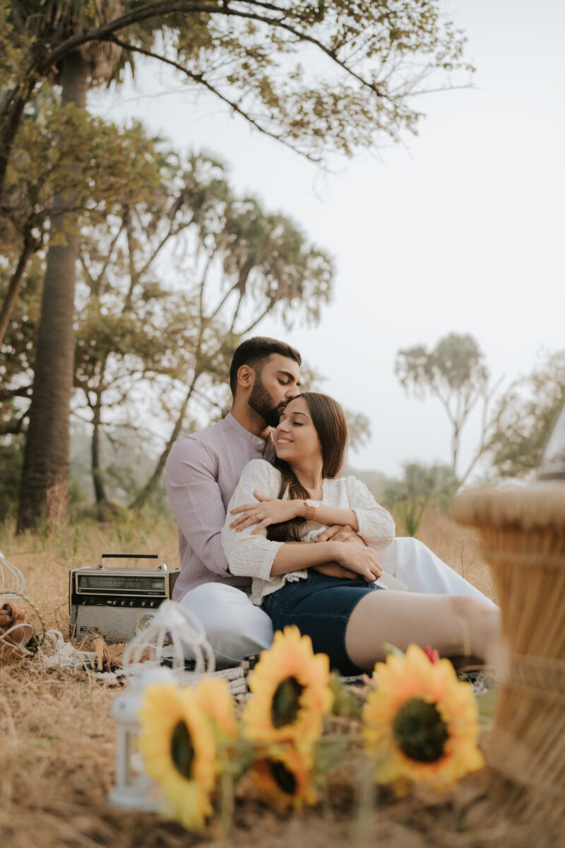
Drone photography at Malshej Ghat
Malshej Ghat includes highways, forests, wildlife, dams, villages and sensitive cliff areas. Drone use depends on current Indian aviation rules, airspace restrictions and permission from the relevant landowner or authority.
Never fly near wildlife, crowds, dam infrastructure, highways or protected areas without verified approval. A drone used at a resort may still be prohibited at the nearby dam or forest viewpoint.
What to wear
During the monsoon, solid colours such as mustard, rust, wine, ivory and deep blue remain visible against green mountains and grey skies.
Traditional Maharashtrian clothing suits Khireshwar, Junnar and approved heritage surroundings. Casual jackets, denim and neutral outfits work well for road-trip photographs.
Avoid long gowns at waterfalls, forts, Naneghat and trekking trails. Wet fabric becomes heavy and can make movement unsafe.
What to carry
- Walking shoes with good grip
- Shoot footwear in a separate bag
- Rain covers and umbrellas
- Towels and spare clothes
- Water and snacks
- Warm layer for foggy mornings
- Insect repellent
- Basic first-aid kit
- Dry bags for phones and cameras
- Power banks
- Copies of permissions and property bookings
Relevant pre-wedding location guides
Couples exploring this region may also find these TK Solanki Photography guides useful:
- Pre-wedding photoshoot locations in Matheran
- Pre-wedding photoshoot locations in Karjat
- Pre-wedding shoot locations in Lonavala
- Pre-wedding shoot locations in Pune
- View real pre-wedding stories
Don’t just choose a location. Plan a story worth remembering.
Get help with locations, outfits and the right photography timing for your pre-wedding shoot.
Personal PlanningLocation guidance for your story
Clear GuidanceTiming, travel and permission support
Direct ConsultationTalk with the photography team
Plan your Malshej Ghat shoot with TK Solanki Photography
Malshej Ghat changes quickly. A clear viewpoint can become foggy, a seasonal waterfall may stop flowing and a safe roadside area may be closed during heavy rain. Good planning means having a route that still works when one location is unavailable.
TK Solanki Photography helps couples select locations according to the season, comfort level, outfits and available time. The goal is to create a relaxed shoot plan with enough time for real expressions—not to race between every viewpoint on Google Maps.
Only a limited number of pre-wedding dates are accepted each month so each shoot can be planned properly.
Explore TK Solanki Photography services or check availability for your pre-wedding date.
Frequently asked questions
Is Malshej Ghat good for a pre-wedding shoot?
Yes. It is a strong choice for couples who want mountains, fog, waterfalls, lakes and natural photographs. It is less suitable for couples looking specifically for palaces or luxury architecture.
Are pre-wedding shoots allowed on the ghat road?
Photography may be possible from legal parking areas and authorised viewpoints. Stopping on an active lane, inside a tunnel or on a blind curve is unsafe and may be prohibited.
Are Malshej Ghat locations free?
Many public viewpoints are free or nominally charged. Resorts, private farms, commercial permissions, guides and parking can involve additional costs.
Which is the easiest location for a couple?
The main ghat viewpoint, Pimpalgaon Joga backwaters and a private resort make an easy combination with minimal walking.
Which location is best for an adventure shoot?
Naneghat or the lower Harishchandragad trail works for an adventure story. A full Harishchandragad or Kokan Kada session should only be planned for experienced trekking couples.
Can we shoot beneath a Malshej waterfall?
It is safer to use the waterfall as a background. Falling rocks, strong water, slippery surfaces and sudden changes in flow make standing directly beneath waterfalls risky.
Can we complete the shoot in one day?
Yes, if you choose three or four nearby locations. Use two days if you want to include Junnar, Shivneri, Lenyadri or Naneghat.
Is monsoon the best season?
Monsoon gives the greenest scenery and active waterfalls, but winter is easier and more predictable. The right choice depends on whether the couple values dramatic weather or a smoother schedule.
Is drone photography allowed?
Permission depends on airspace, the exact land, forest rules, dam restrictions and local conditions. Approval for one property does not automatically permit flying throughout Malshej Ghat.
Final planning advice
For most couples, the best plan is simple: start at Pimpalgaon Joga during soft morning light, use a private property for changing and finish at a safe Malshej viewpoint.
Add Naneghat, Harishchandragad or Shivneri only when that setting is genuinely important to your story. A smaller number of well-planned locations will produce better photographs than a long list rushed through in one day.


